

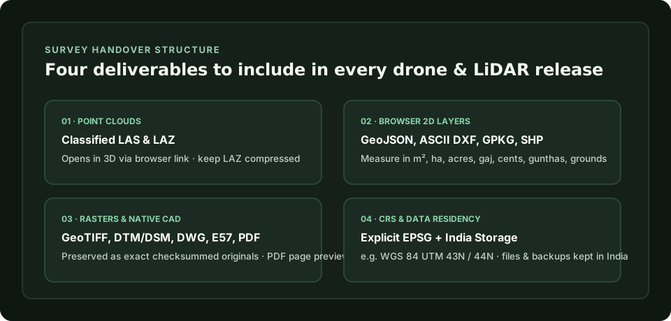
Scroll sideways to see the whole diagram
1. Classified point cloud deliverables (LAS and LAZ)
Compressed LAZ keeps handover sizes practical over Indian broadband connections while preserving full point attributes. Package cleaned, classified point clouds in tiled sheets where appropriate and document the classification scheme in your accompanying report.
With GISweaver, you can share processed LAS and LAZ files in 3D via a browser link so clients verify coverage before downloading large archives.
2. Vector linework, contours and GIS layers
For browser review and client measurement without desktop CAD or GIS tools, include open vector deliverables alongside your CAD master files. GeoJSON, ASCII DXF, KML, KMZ, GeoPackage and zipped Shapefiles open directly as map layers in GISweaver, allowing clients to toggle layers, inspect attributes and measure distances or parcel areas.
See survey delivery workflow for India
3. Orthomosaics, elevation models and native CAD files
Complete engineering handovers usually include heavy raster and proprietary CAD files alongside lightweight review layers. Keep GeoTIFF orthomosaics, Digital Terrain Models (DTM), Digital Surface Models (DSM), DWG drawings, binary DXF files and E57 laser scans together in the same versioned release.
In GISweaver, these files are stored and delivered as exact originals with SHA-256 checksums rather than silently re-encoded. PDF survey reports and site photographs kept with a project also receive browser page previews.
4. Coordinate reference systems, UTM zones and data residency
Always state the project’s EPSG code and vertical datum on the survey control report. Indian projects commonly use WGS 84 UTM zones such as Zone 43N (EPSG:32643) for western and southern India, including Kerala, or Zone 44N for central and eastern corridors.
Every GISweaver project has an explicit native EPSG coordinate system selected at creation, and corridor review by chainage works today for projects in UTM zone 43N. All survey files and backups are stored in India, aligned with our published governance commitments.