How to share LiDAR point clouds (LAS and LAZ) without sending hard drives
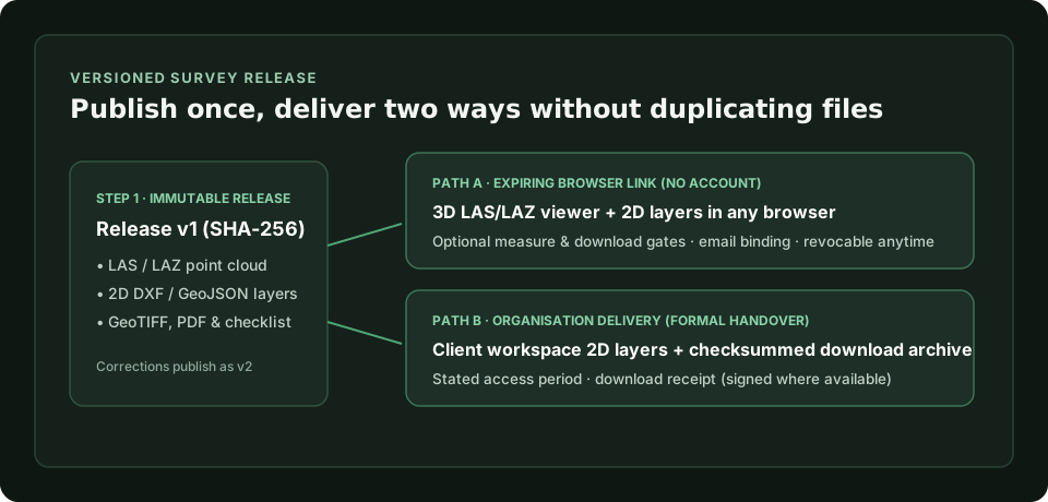
Send processed LAS and LAZ point clouds by browser link with no software to install, optional download control, and versioned releases.
Read articlePractical notes for land surveyors, LiDAR and drone teams, and engineering consultants on delivering point clouds, CAD layers and checked releases.
3 articles
Send processed LAS and LAZ point clouds by browser link with no software to install, optional download control, and versioned releases.
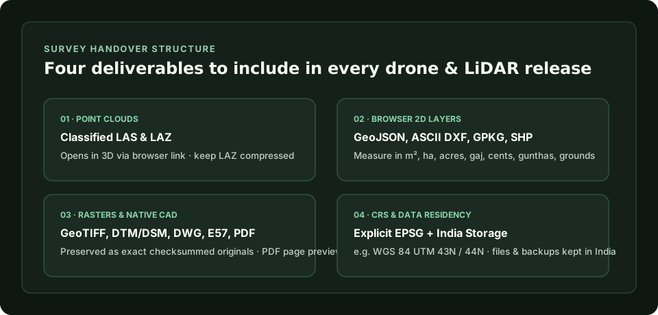
Read articleA practical handover checklist for Indian LiDAR and drone surveys: LAS/LAZ point clouds, 2D layers, GeoTIFF rasters, EPSG grids and QA reports.
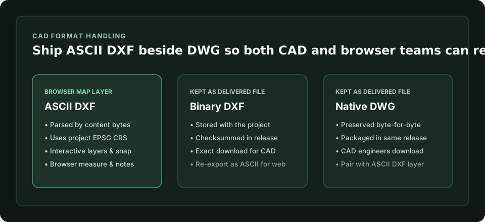
Read articleLearn why ASCII DXF opens as interactive 2D survey layers in a browser while DWG and binary DXF stay as files, and how to package both.
Read articleOpen a sample 3D point cloud and 2D survey layers in the Playground with no account, or compare plans.